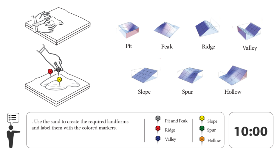
Day 3: Landforms
Activity Objectives
- Use the sand to create the required landforms and label them with the colored markers.
Activity Notes
If enough time is alloted (~1 hour; dependent on number of students present), this lesson may be split into three sub-tasks, such as: (1) simple, (2) compound, and (3) complex landforms (see Activity Instructions below). If there isn’t enough time, a more “free-play” approach is recommended (i.e., freely assign students specific types and numbers of landforms they should create) so that the activity can be stopped at anytime.
Activity Instructions
Each sub-task requires students to create and identify given landforms, with each subtask to-be-completed in three rounds of increasing difficulty. For simple landforms, students should build and identify one depression during round one, one ridge for round two, and one valley during round three. For round one of the compound landforms task, students should properly build and identify two ridges and one valley, one peak, one valley, and one depression for the second round, and two valleys and one depression for the third round. During the final sub-task, complex landforms, three ridges and three valleys are be required for round one, for round two, three peaks, one depression, and two ridges, and for round three, one footslope and one spur. Each sub-task should take no longer than 15min (5min per round). After students create the landforms (using their hands or a sculpting knife), the module r.geomorphon should be run to analyze the topography and project detailed feedback on the types of landforms created. This helps the students fully understand variations in types and shapes of landforms that they create.
Resources
Activity Objectives
Landforms Activity
Geospatial Concepts
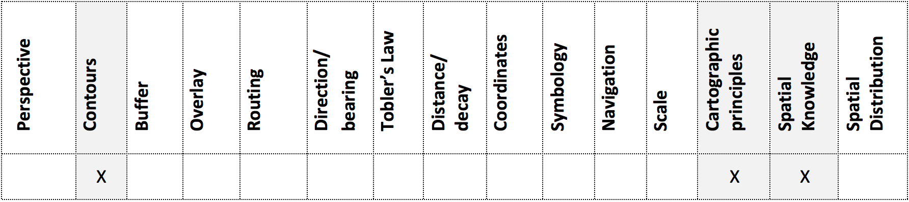
Geospatial Concepts Covered by Landforms Activity